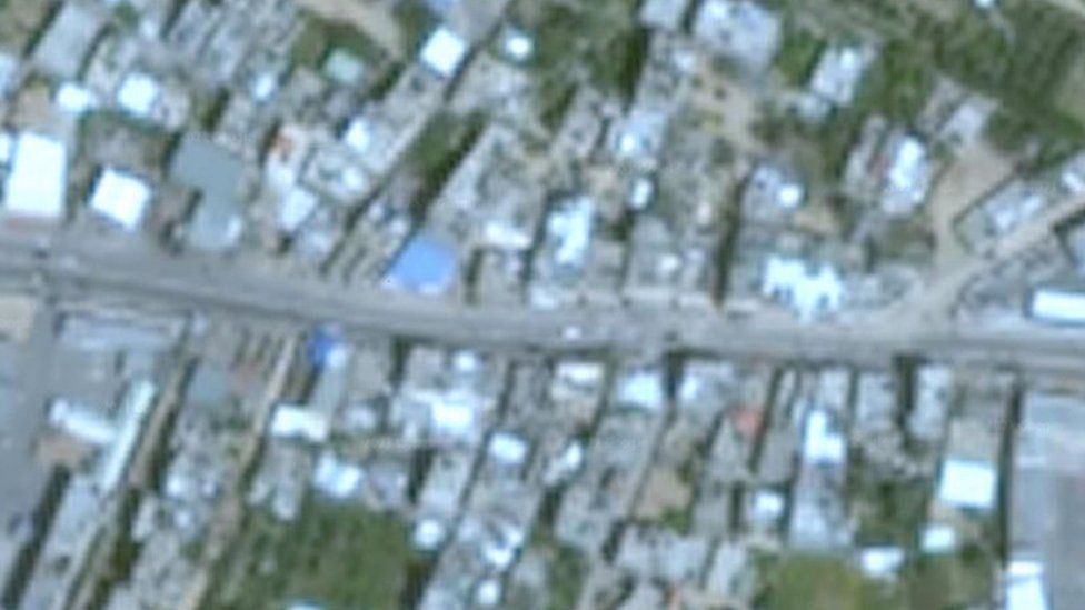
Amid the ongoing Israel-Palestine conflict, researchers while observing the conflict through public domain information have raised concern about the blurry satellite images of the region on Google Maps. The issue was highlighted when researchers were trying to locate attacks and document the destruction using open-source information, including mapping data.
It was also observed that most of the territories of both Israel and Palestine appear on Google Earth as low-resolution satellite imagery, despite higher-quality images are available from satellite companies.
As soon as the issue was highlighted, Google in its blog post said that the company usually aims to update the satellite imagery of the places “that are changing the most”. The satellite and aerial photographs available in Google Maps and Google Earth are sourced from many different providers which include state agencies, geological survey organisations and commercial imagery providers.
Further adding to the statement, Google also said that the company keeps refreshing the images of densely populated areas frequently in order to keep up with the changing world. Apart from this, Google’s Geo Data Strategist Matt Manolides in the blog post said, “We will refresh areas more frequently when we think there’s lots of building or road construction going on in the area.”
In regards to the statement, many people argued that Gaza City is more densely populated than major world cities like London and Shanghai. But Google Maps shows clearer images of far less densely populated areas than Gaza. It was even observed that the satellite images of Pyongyang, the secretive capital of North Korea, are of far better quality on Google Maps.
It is being reported that Google is still using blurry images from 2016 to show areas of Gaza. Although Google said that it considers “opportunities to refresh its satellite imagery as higher-resolution imagery becomes available”, however, the company had “no plans to share at this time”.

