
It looks like unmanned aerial vision, or ‘Eye in the sky’ technology by the use of drones, is set to make its mark in the railway sector. Last year Dutch national railway operator Nederlandse Spoorwegen (NS) announced its plans to use drones for inspections of train stations. A report by Railtech revealed that according to NS, the unmanned aerial vehicles will fly over train stations and platforms. They will make photos and videos of the infrastructure objects. With the help of the drones, NS intends to improve the maintenance of the train stations.
Ninja UAVs for Mumbai railway station
In a bid to enhance security and surveillance, Central Railway’s Mumbai Division recently procured two Ninja UAVs. This is for use in railway areas like station premises, railway track sections, yards, workshops, etc.
“A team of four staff from Modernisation Cell of the RPF have been trained to obtain the licence for flying these drones,” said Shivaji Sutar, chief spokesperson for Central Railway.
“They can also do real-time tracking, video streaming and (operate in) automatic failsafe mode,” Sutar said.
The drone has an operational range of 2 km and flies up to 25 minutes. Its take-off weight is up to 2 kg and can capture HD images at 1280×720 pixels during daylight.
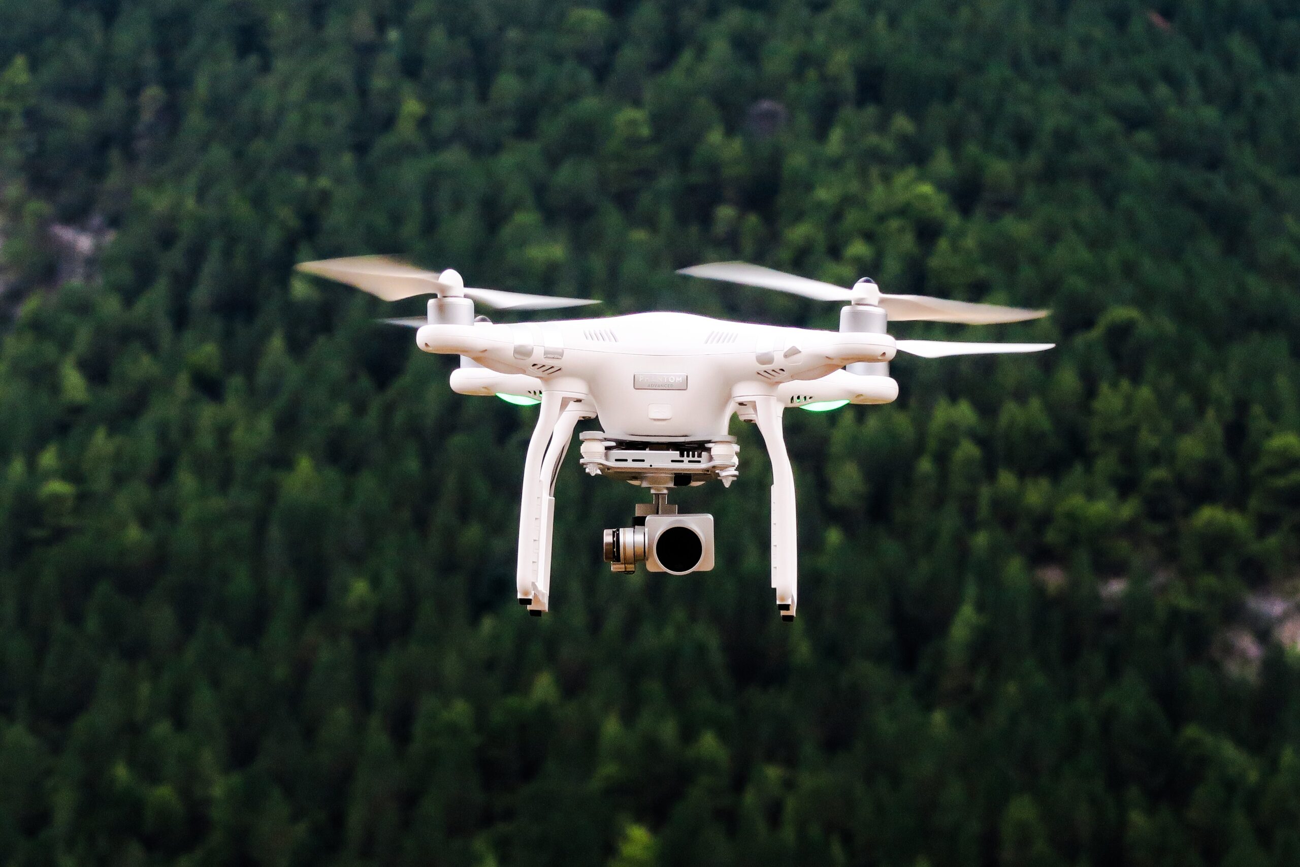
The drone-based surveillance systems act as an “Eye in the sky” and monitors the whole area
Indian railway ministry
Railway Protection Force (RPF) and the drone
Until now, RPF has procured as many as nine drones at a cost of Rs 31.87 lakh at Central Railway, South Eastern Railway, South Western Railway, Modern Coaching Factory, and Raebareli. In the future, it is further proposed to procure 17 more drones at a cost of Rs 97.52 lakh. So far, as many as 19 RPF personnel have been trained in drone operation and its maintenance. Of those, four RPF personnel have received the licenses for flying drones. An additional six RPF personnel are also being trained. Source: Financial express
Features and specifications
According to a press release issued by the Railway Ministry, these drones are capable of Real Time Tracking and Video Streaming, as well as they can be operated on Automatic Fail Safe Mode. The extensive use of drones has been planned by the RPF for the purpose of Railway security.
Railway Ministry’s released data says that the drone deployment’s purpose is to provide a force multiplier as well as aid to the effectiveness of the security staff deployed. The drones can help in inspection of Indian Railways’ assets and safety of yards, car sheds, workshops, etc. Also, to launch surveillance on anti-social and criminal activities such as garbage throwing, hawking, gambling, etc., on railway premises, the drones can be used. Additionally, the drones can be deployed for data collection analysis that may prove to be very useful in those sections that are vulnerable, for safe train operations.
Need in the present scenario
The Coronavirus pandemic witnessed drones being utilized to enforce lockdown and monitor the migrants’ movement.
Aerial monitoring through drones has great potential as threats have also evolved. Technology should be used not only for luxury but also to avert security failures.
“Drones are already being used to examine high-voltage electrical lines. They could do precisely the same thing to inspect railway catenary lines and other vital aspects of rail infrastructure such as the alignment of tracks and switching points.” “The more regularly they can be inspected, the more railway safety, reliability and on-time performance will be improved. Costs would be cut and operations would be more efficient across the board.”
Pierre-Antoine Benatar, Marketing Manager for Thales’ Transportation Activities
Progressive Rail Roading explains that from better vantage points to high-quality imaging linked to precise GPS locations, drones can help railroads obtain data that can be dangerous, expensive or inefficient to obtain frequently with traditional inspection methods.
“The human element is not always 100 percent accurate,” says Zach Garner, president of VisioStack, a drone imagery data management company. “There is a potential for accuracy gain [with a drone]. There is a potential to reach places that cannot be reached very easily.”