
Satellites are powerful ears and eyes that are in space and are above the Earth. They sneakily observe, hear and gather helpful information without detection. Nowadays, satellites contribute really huge role to the way people in power, armies, scientists, and even ordinary people learn about what is going on in the world. Satellites assist us not only in observing movements of enemies but also in studying weather patterns, thereby making us see what is difficult or impossible to see on earth.
They play a significant role in both the safety of the countries and in planning missions and making smart decisions. In this article, we will explain in very simple words how satellites gather intelligence, the main types of satellite information, why they matter so much today, and the new trends shaping their future.
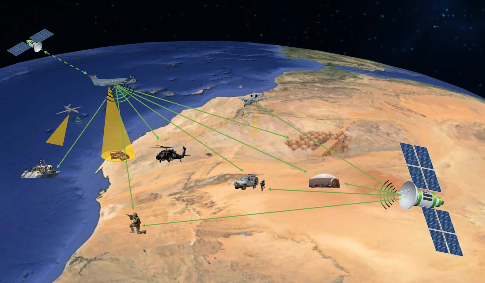
What satellite intelligence means
When individuals refer to the satellite intelligence, they refer to the information obtained by monitoring or observing things on the ground through the use of satellites. This information is then studied to make sense of events; for example, to know where troops are moving, to find hidden factories, or to detect a ship at sea. A large portion of this work is referred to as geospatial intelligence, or GEOINT, and it deals with space maps and images. GEOINT uses photos and location data to show what is happening on the ground.
Main types of satellite intelligence
- Imagery Intelligence (IMINT / GEOINT)
These satellites capture images of the earth. Others capture them in everyday sunlight (optical), and others capture light of various wavelengths (such as infrared) that are invisible to the human eye. Commercial satellite image companies offer highly detailed imagery, which can be purchased by governments and businesses as a way of tracking the changes, strategizing activities, or addressing disasters.
- Signals Intelligence (SIGINT)
SIGINT satellites act like giant ears in space that “listen” to electronic signals on Earth. These signals can be radio talks, radar waves, or other electronic activity. By catching these signals, experts can find out about who is talking, where radars are working, or how military systems are moving. The data gathered by SIGINT assists the security teams to know what the other nations are up to. This data is then used by the government agencies to ensure the country is safe and also to inform leaders to make wise decisions.
- Synthetic Aperture Radar (SAR) and Radar Imagery
SAR satellites rely on radar pulses to form images. SAR is capable of viewing clouds, smoke and use at night, unlike the normal cameras. This makes SAR extremely useful when weather or darkness would block optical satellites. SAR data have the capacity to reveal time variations, including new construction, large vehicle movement or temporary flood following a storm. Frequent updates are now done by companies through constellations of SAR satellites.
- Measurement and Signature Intelligence (MASINT)
MASINT is a type of intelligence that looks for special “signs” or unique fingerprints of objects. These can be chemical traces, heat, radiation, or the way light bounces off a surface. To collect this kind of data, satellites use very advanced sensors that can notice tiny details. MASINT is useful because it can find things that normal photos or cameras cannot show. For example, it can help detect hidden weapons, underground tests, or unusual activities in an area. This makes it an important tool for spotting dangers early and keeping a close watch on things happening around the world.
- Small Satellites and Cubesats
Over the last few years, there have been the releases of numerous tiny satellites (often called cubesats or smallsats) into space. Such satellites are far less expensive to produce and require less time to place into orbit than large satellites. CubeSats individually might not be particularly powerful, but when combined in large numbers, they can observe very large regions more frequently. This simplifies real-time or near real-time observation, making it more flexible and less expensive. These small satellites are being tested by scientists, companies and even militaries to provide useful information in a brief time on the ground.
How the information is turned into intelligence
Raw satellite data; images, radar returns, or intercepted signals; are only the start. Analysts and computer systems manipulate these data to extract useful facts. Artificial intelligence (AI) and machine learning allow scanning through vast amounts of data in a short amount of time today. AI can be used to alert humans of changes (a new ship in port or a new road is under construction, etc.) so that they can examine what this entails. Decisions can now be made faster and more precisely in this combination of machines and experts than previously.
Why satellites are so important now
- Wide coverage: Satellites can see remote areas that are hard to reach on the ground.
- Persistent watch: Constellations of many satellites can keep an eye on places regularly, which helps spot changes and patterns.
- All-weather capability: Radar satellites work even when it’s cloudy or dark, so there are fewer blind spots.
- Commercial growth: Private companies now offer better and faster imagery and data services. Governments can buy these services instead of building all systems themselves. This expands the amount of information available to decision makers and researchers.
Real-world uses and examples
- Military operations: Satellites provide maps, show troop or ship movements, and help with targeting and mission planning.
- Disaster response: After earthquakes or floods, satellites quickly show damage and safe routes for rescuers. SAR satellites are especially useful when clouds block optical pictures.
- Border and maritime security: Satellites can spot illegal activity, track smuggling routes, or monitor fishing zones.
- Environmental monitoring: Satellites measure deforestation, glacier melt, pollution, and coastal erosion. This helps scientists and policy makers protect the environment.
- Commercial and civic use: Businesses use satellite data for agriculture (to track crop health), insurance (to assess damage), and city planning.
Challenges and limits
Satellites are powerful, but they are not perfect:
- Privacy and law: Watching from space raises legal and ethical questions about privacy and how data should be used. Different countries have different rules.
- Data overload: Satellites generate enormous data. It is costly and technically difficult to store, move, and analyze all that data. AI is useful, but it requires proper training and supervision.
- Dependence on providers: Many governments now rely on private companies for imagery. This can create political or operational problems if access is reduced or cut off. The recent events have indicated that government decisions can influence access to commercial imagery.
- Space risks: Space debris, cyberattacks, and anti-satellite weapons threaten satellites. Satellite system security is gaining momentum. Space systems are getting more and more the point of protection.
New trends shaping satellite intelligence
- More commercial providers and faster updates– More private companies now operate lots of small satellites. These companies have a capability of updating images rapidly, even a few times per day, and this feature assists with near-real-time tracking.
- AI on the ground and in space– AI technologies are deployed on Earth and on satellites progressively to process data far faster and minimize the amount of raw data delivered to Earth.This saves bandwidth and speeds up useful insights.
- Growing role of SAR constellations– Radar satellite networks can give frequent, weather-independent coverage. NATO and other organizations are already buying such services to strengthen their situational awareness.
- Tactical, low-cost solutions– Cubesats and smallsat clusters let smaller users deploy tailored capabilities without huge budgets. Militaries and researchers are testing how to embed these small systems into broader intelligence architectures.
Final Thought
Satellites are one of the most significant tools that countries and organizations use today to know what is going on in the world. They provide a broad top-down picture, send frequent updates, and the information they offer is usually highly trustworthy. Satellite intelligence will be even more rapid and detailed in future with new technology and the advances of more powerful radar, more small satellites, and intelligent AI.
Along with all these advantages, there are also safety, privacy, and fairness concerns that should be considered with caution. Satellites can be used to save people, assist peace, direct leaders, and provide us with a better view of our planet than ever before.
Article by Rachna